
Windsor Neighbor Record Layers
Different public sources describe different parts of a Windsor block. GIS proves parcel shape and adjacency. The assessor card identifies a recorded owner and mailing address. Deeds document transfers, while meeting and civic records show public activity in an area. A person named in one layer should not be called an occupant unless another dated source supports that claim.
| Source | What It Shows About a Block | Access |
|---|---|---|
| Windsor GIS and REST layer | Parcel polygons, site addresses, file codes, owner and mailing fields | Public viewer and parcel query |
| Windsor Property Cards | One located parcel's owner, mailing address, sales, values, and building facts | Free address or file-code search |
| Town Clerk land index | Transfers and legal descriptions for nearby parcels | SearchIQS and Town Hall |
| Voter system | Allowed registration, status, district, and address checks | State lookup or registrar request; protected voters excluded |
| Civic and agenda records | Public groups, contacts, projects, and committee activity | Town PDF and Agenda Center |
| WHS house files | Past block context for more than 250 properties | Research-library inquiry |
Owner and occupant are not synonyms. A tax mailing address may be outside Windsor. A voter address has a different purpose and can be protected. A civic contact is not proof of membership or residence. The best neighbor search labels each field by source and date, then leaves gaps blank rather than filling them from an unverified secondary listing.
Map Windsor Neighbors by Parcel
The Town of Windsor GIS viewer provides the verified map-browse route. Begin with a known site address, identify its polygon, then click the parcels that share a boundary or frontage. The viewer's exact buffer control was not verified, so do not promise a radius tool.
- Save the starting site's exact address and GIS file code.
- Identify parcels sharing a boundary or frontage, including corner and rear lots.
- Open each parcel's Property Card and copy owner, mailing, situs, and record date separately.
- Use deeds only when a transfer date or legal boundary needs proof.
- Move to the Windsor street directory when the question covers the whole road.
Street numbers alone can mislead. Condominiums may share one number, a driveway may cross another parcel, and a lot across the road may not be the nearest polygon. Parcel geometry is the reliable first test. File codes then join the map to property cards and keep each Windsor neighbor record distinct.
Read Windsor Neighbor Parcel Fields
The public Windsor Abutter Tool service exposes situs address, file code, normalized street fields, owner and mailing lines, site and owner ZIPs, latitude, longitude, acreage, and parcel geometry. These fields make a block search reproducible without turning the result into an occupancy claim.
- Situs address
- The physical location of the parcel.
- File code
- The assessor identifier used to join GIS and Property Cards.
- Owner mailing address
- Where tax mail goes, which may differ from the site.
- Geometry
- The polygon that establishes parcel boundaries and actual adjacency.
Preserve the query date and the address used. If a mailing field is blank, protected, or outside town, report that fact. Do not search for a substitute private address.
The inspected public sample at 275 Broad Street shows how the fields join without using a private home as an example. Its parcel query returns file code 4857, site and owner ZIP 06095, a municipal owner, mailing lines, coordinates, acreage, and map identifiers. A nearby-parcel worksheet can use the same column set for each selected polygon: site address, file code, owner as printed, mailing city and ZIP, acreage, and query date. Keeping one row per parcel prevents a corner lot or shared street number from being blended with the next record.
Find Windsor Civic Contacts
Windsor has no verified townwide registry of private homeowner associations or block-watch rosters. The official Civic Organization List is the useful public alternative. It includes the library, Historical Society, Chamber, community television, Windsor CT Votes, churches, clubs, political committees, and volunteer groups, with public contact columns.
| Community route | What it can establish |
|---|---|
| Civic Organization List | A published organization and its public contact, not its members |
| Agenda Center | A board, advisory group, project address, meeting date, or public participant |
| Wilson/Deerfield Advisory Committee | Public discussion tied to that area, not a block roster |
| WHS finding aids | Historic address, family, obituary, map, and house-file context |
The Town Agenda Center can be filtered by keyword, date, and public body. Use it to learn which official group discusses an area. Never infer that a public officer or contact lives on the nearby block.
Meeting records add time and purpose. Categories include the Town Council, Planning and Zoning Commission, Historic District Commission, Library Advisory Board, and Wilson/Deerfield advisory bodies. Search an address, street, project name, or neighborhood term, then open the packet or minutes that supplied the match. A person may appear as an applicant, staff member, board member, or speaker. Label that role exactly. Public participation connects a name to an issue on a date, but it does not prove ownership, membership in a private association, or residence beside the project.
Compare Windsor Neighbor Sources
Commercial neighbor tools can merge old addresses, mailing records, and same-name people. Official Windsor records are narrower but show their keeper and purpose. That makes a parcel card or deed easier to audit, even though neither lists a whole household.
| Source type | Strength | Main limit |
|---|---|---|
| Official GIS and cards | Dated parcel and recorded-owner fields | Not proof of occupancy |
| Town land records | Recorded transfer and legal description | Does not list every resident |
| Public civic records | Named group, issue, or public contact | Not a private membership list |
| Commercial category | May combine several historical sources | Can be stale, merged, or unclear about origin |
Verify any neighbor claim against the original Windsor custodian. Record the date and address type, and use cautious wording such as “recorded owner” rather than the unqualified word “lives.”
Track Windsor Block Issues
The town's SeeClickFix page provides an address-pinned municipal service layer.
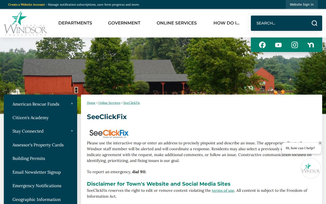
A service report can show that an issue was attached to a place and date. It is not evidence that the reporter or a named contact resides there.
For other defined records, the Windsor Form Center routes public requests and town forms.
Ask for an existing address, project, permit, or meeting record under the Connecticut Freedom of Information Act. Do not ask staff to investigate private residents.
Route Windsor Neighbor Questions
The Windsor staff directory identifies public departments, boards, commissions, and staff contacts by category or last name.
Use it to reach GIS, the assessor, Town Clerk, Planning, or a board custodian. It is a government contact list, not a directory of Windsor neighbors.
Explore Historic Windsor Neighbors
The Windsor Historical Society finding aids organize house files, subject files, maps, obituaries, and local papers.
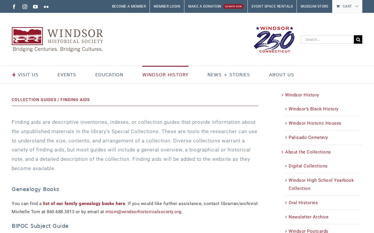
These holdings can rebuild the past block around a house without treating a present civic list as a resident roster. Coverage varies by address, so contact the society with the road, village, parcel clue, and date range.
Historic Windsor geography needs its own caution. Early records may use Windsor center, Poquonock, Rainbow, Wilson, or an “Ancient Windsor” place that now falls in another town. House numbers were not assigned until 1915, and a 1909–1910 directory can use trolley stops instead. For a past block, compare the stop or village with deeds, maps, census material, and adjacent house files. Modern GIS confirms today's parcel pattern; it does not prove that the same boundary or street label existed in the directory year.
Protect Windsor Neighbors' Privacy
Public block records do not expose every renter, family member, unregistered person, utility customer, or delivery account. Connecticut's Safe at Home program uses substitute addresses, and protected voter records are confidential. DMV personal information is restricted. A missing address is an access boundary, not an invitation to reverse-engineer it.
The safest record language names the source and date: recorded parcel owner, owner mailing address, voter lookup result, public civic contact, or historic directory listing. Correct errors with the office that created the record. Use a narrow public-record request only for an existing, releasable municipal file.
Lawful use. Learn about the Windsor block for civic curiosity, reconnection, or personal safety. Never use these records to watch, intimidate, harass, or harm anyone.
Confirm Windsor Block Changes
A block can change without its parcel geometry disappearing. A sale changes the assessment owner, a new mailing address changes where tax notices go, and a subdivision or condominium can alter the parcel pattern. Compare the file code, map-block-lot identifiers, acreage, and legal description before deciding that two records describe the same site. For older Windsor blocks, village labels and pre-1915 trolley-stop descriptions may be more useful than a modern house number.
Date every block search. Property cards, GIS, deeds, public meeting records, and civic contact lists update on different schedules. A current GIS label should not be projected backward onto a historical household, and an old directory name should not be treated as a present neighbor.